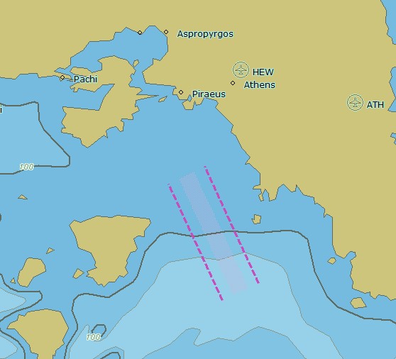
In most of the ECS/ECDIS applications a background world chart is not provided at all, or it is provided at an insufficient scale. This leads to limitations in usability caused by irritating gaps in areas not covered by commercially purchased charts and may even endanger ship and crew in emergency situations.

SevenCs is offering The Chart - a unique S-57 background chart with useful and safety relevant information at a scale of 1:1.000.000. The Chart is a perfect mean to improve functionality and appearance of ECDIS and ECS applications. Though not being intended for primary navigation the product highlights include:
- Outstanding accuracy and details of coastlines.
- Additional information such as traffic separation zones, administrative or restricted areas, and exclusive economic zones.
- More than 4000 main port locations, anchorage areas, depth contours, and rivers.
- Airport locations with codes allowing for coordination of crew changes or spare parts delivery (another unique feature on the market).
- Suitable for all applications that can read S-57, S-63 and dENC chart formats.


